ATLAS OF HISTORICAL COUNTY BOUNDARIES
The holidays are almost here! I know many of us do not have a lot of time right now to pursue our genealogical passion (or we’re turning that passion into creating lots of family history-themed presents – printed books with family photos, clever ornaments with ancestors on them, and collections of family recipes from our grandparents, to name a few.) I’m not that creative with crafts per se, but I did spend a little bit of time baking cookies and I’m debating about making a loaf of banana bread. I’ve also managed some time to continue my Website Wednesday theme and write a few notes about a great resource that I discovered before I go looking for the Christmas cards and the ornaments.
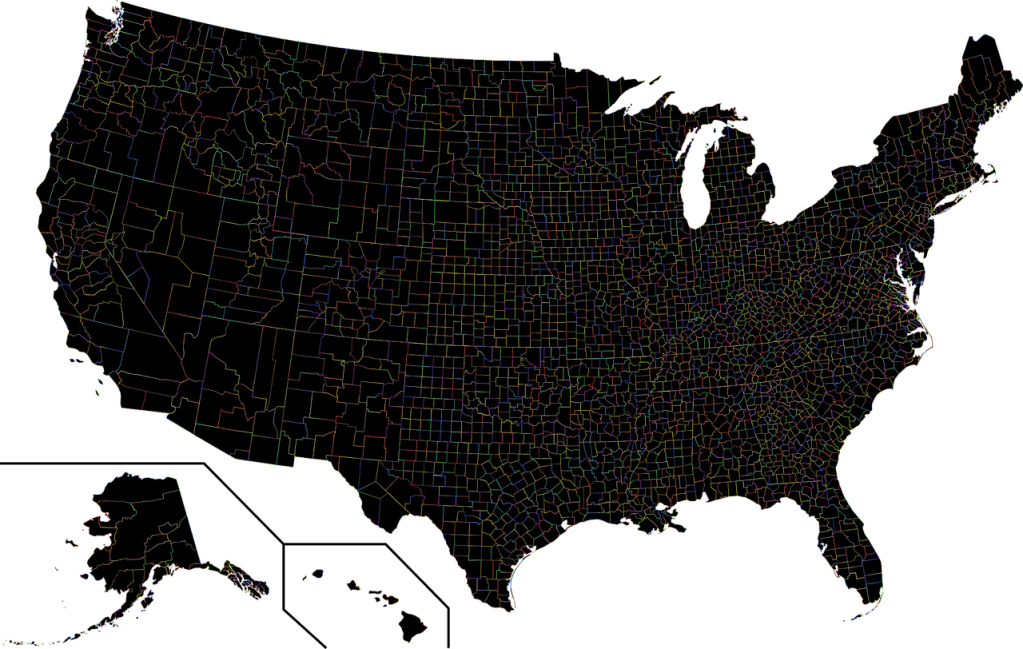
The Newberry Library has a website for historical and current county boundaries, along with other interesting state-related geography. The URL is https://publications.newberry.org/ahcbp/ and the first illustration you will see is an interactive map of the United States. According to the instructions, you can click on any state to see “content related to that state, including shapefiles, chronologies, and metadata.” Clicking on Colorado, for example, brings you to another page where you can view an interactive map, an index of counties and equivalents, individual county chronologies, bibliography, sources, historical commentary, and metadata (data about data – information on the data used to provide these county boundaries). A treasure trove of information indeed!

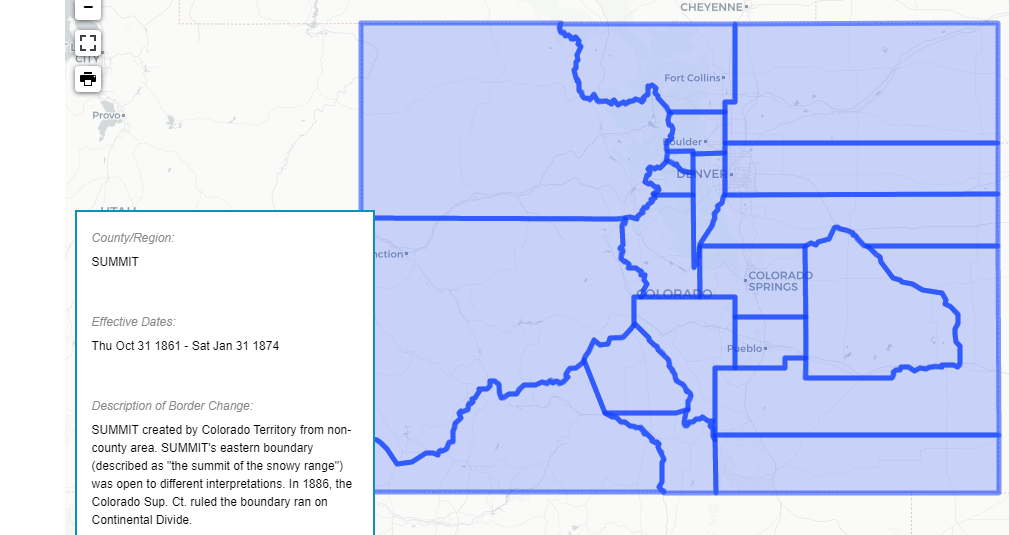
If you click on View Interactive Map you will see a map of Colorado highlighted in blue. There are dates on the far left that you can click on to see Colorado at a specific period of time. Clicking on the date 12-29-1866 changes the map to see the county boundaries of Colorado at that time, along with information about the state. If you hover your mouse over a specific county, you will see information about that county. Summit County, for instance, has a paragraph explaining that the eastern boundary was not fixed until 1886 when it was determined the Continental Divide was to be the border.
Going back to the Colorado detail page, you can click on the index of counties and equivalents. I noticed the “State of Deseret” listed. I know that would have been Utah. Clicking on that link showed me that at one time, the State of Deseret (Utah Territory) included part of present-day Colorado.
There is quite a bit of county information on this site. Going back to the main page, you can click on the map for National Data and there are several maps for county boundaries. (Unfortunately, I was unable to get any of these to play on my browser.) There is a tab for instructions on using the interactive maps and FAQs. There are also tabs for how to use the download feature and a history of the project.
Going back to the states, I chose North Carolina. Scrolling toward the bottom, there is a KMZ file that you can download and use on Google Earth Pro. This is a zip file that I downloaded to my downloads folder on my PC. Once downloaded, I unzipped it. I opened Google Earth Pro and then double-clicked the .kmz file. Going back to the Google Earth Pro program, I saw it zoom into the North Carolina area and it overlayed the historical county map over the earth. Once on there, I can zoom in or zoom out. Google Earth Pro is free to download and it’s a fantastic tool to use. You can put in coordinates of the land that your ancestors owned and it will zoom right to them and you can drill down and see what the lay of the land looks like right now.

Google Earth Pro V 7.3.3.7786. (December 13, 2015). Eastern United States. 34° 33’ 16.73”N, 75° 25’ 21.36”W, Eye alt 2672.43 feet. SIO, NOAA, U.S. Navy, NGA, GEBCO. Image Landsat / Copernicus 2020. http://www.google.com/earth/ [December 15, 2020].
The Newberry Library website itself is very helpful. They have a beta Internet Archive search (another amazing website) along with their own digital collection. I did have some trouble opening up the images that showed up on the digital search page, but when I searched by collection, I was able to pull up many issues of The Chicago Genealogist, all fully searchable. Of course, this will have to wait for another blog post!
I hope you are all able to have a good holiday, even though we can’t all get together as we have in the past. Meantime, Search Smart!
Sara N Martin
Image by Gordon Johnson from Pixabay
